The Air District is announcing that its independent Hearing Board has ordered Martin Marietta to get a permit for the company’s sand distribution plant located at Pier 92 in Bayview Hunters Point, San Francisco. The Hearing Board has also imposed restrictions on the plant’s operations to reduce emissions and protect public health.
Languages:
English
A Healthy Breathing Environment For Every Bay Area Resident
|
|
Sonoma County
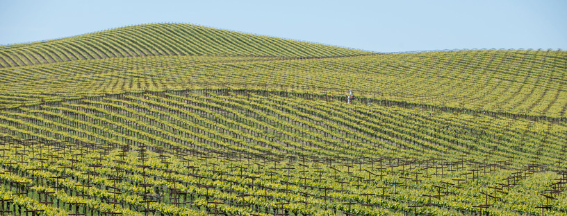
Learn about Sonoma County - its climate, potential air pollution concerns, and current air quality. You can also view upcoming Air District events in Sonoma County and read about local efforts to improve air quality.
Sonoma County lies to the west of Lake and Napa counties, north of Marin County, and south of Mendocino County. The Air District only has jurisdiction over the southern portion of the county, which includes Santa Rosa, Petaluma, and Sonoma. Two Sonoma County representatives sit on the Air District’s Board of Directors.
Latest News
-
-
The Air District has fined the City of Berkeley $130,000 for air quality violations that occurred at its landfill site at Cesar Chavez Park in Berkeley from 2019 - 2022.
Learn More -
The Air District’s Clean Heating Efficiently with Electric Technology, or Clean HEET, Program will begin accepting applications for grants that can help to offset the cost of switching from a wood-burning stove or fireplace insert to an electric heat pump. The program is designed to improve air quality in communities by replacing polluting wood-burning heating devices with cleaner heating options.
Learn More -
The Air District has expanded the Clean Cars for All program to the entire nine-county Bay Area within the Air District’s jurisdiction.
Learn More -
-
-
Other News Articles
Climate
Sonoma County’s climate is largely affected by the topography of the Petaluma, Cotati, and Sonoma valleys. Temperatures are similar in the Petaluma and Cotati valleys, while Sonoma Valley temperatures are warmer, similar to Napa Valley. Average daily temperatures range from moderate overnight to hot during the day in the summer, and cool overnight to moderate during the day in the winter. Wind patterns in the Petaluma and Cotati valleys are strongly influenced by the Petaluma Gap, with calm to mild winds typical in both Santa Rosa and Petaluma. During late afternoons in summer, fog is common in the Petaluma and Cotati valleys, and can persist until late morning the following day. Sunshine in the Sonoma Valley is plentiful. Annual rainfall ranges from 24 inches in Petaluma, 29 inches in Sonoma, and 30 inches in Santa Rosa.
Sonoma County’s climate is also affected by regional Bay Area climate influences. (icon) (PDF)
Interactive Air Monitoring Stations Map
Air Quality in Sonoma County
Ozone and fine particle pollution, or PM2.5, are the major regional air pollutants of concern in the San Francisco Bay Area. Ozone is primarily a problem in the summer, and fine particle pollution in the winter.
Although much of the interior of Sonoma County can get quite hot during summer, air monitoring results show that this area experiences some of the lowest ozone levels in the entire Bay Area. Gaps in the hills to the west allow fresh marine air inland on all but the hottest summer days.
PM2.5 can become elevated, particularly due to wood burning during the holiday season, but once again, air monitoring results show that this region has some of the lowest levels of PM2.5 in the entire Bay Area.
Spare the Air Status
Last Updated: 4/21/2017