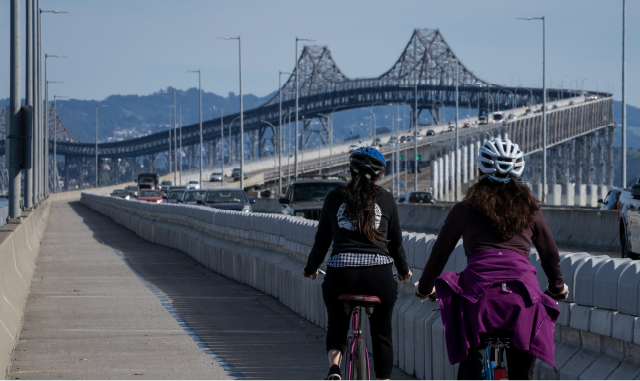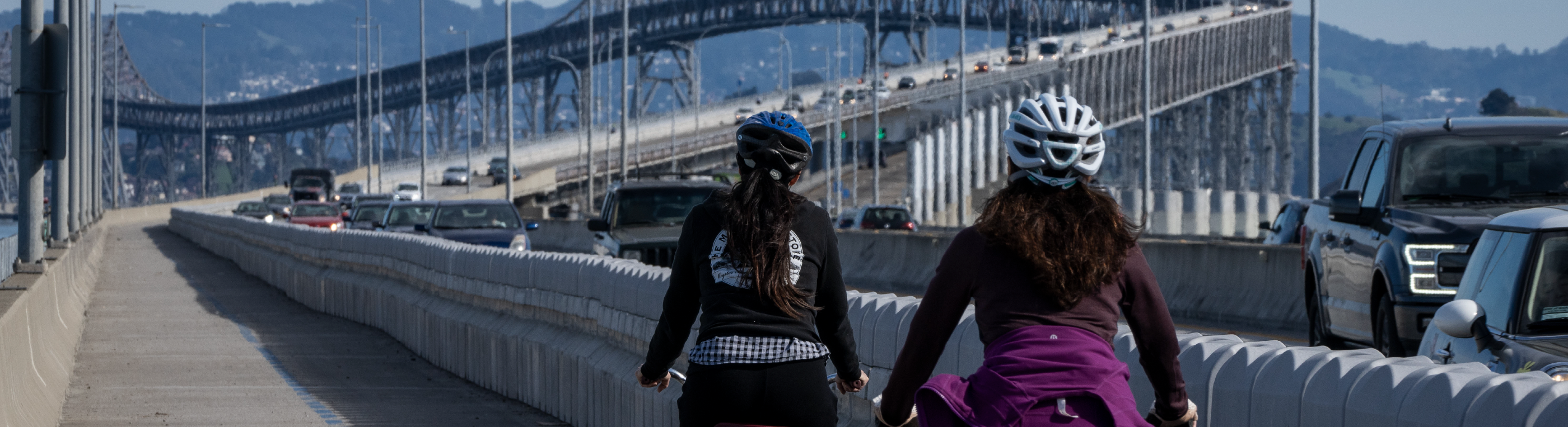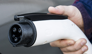
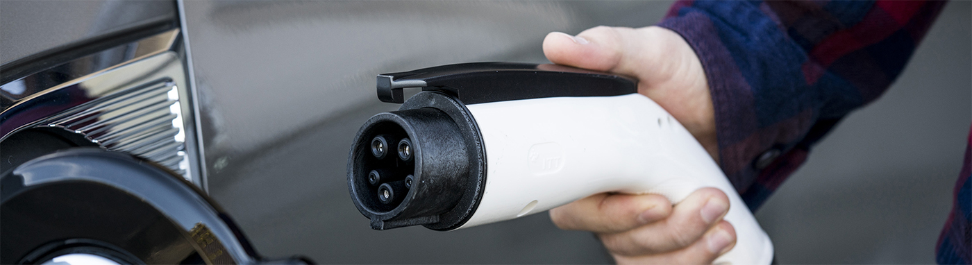
Clean Cars for All
Clean Cars for All provides funds for residents to upgrade to cleaner vehicles
LEARN MORE|
|
The Air District is requesting an abatement order from the agency’s independent Hearing Board to correct air quality violations at Tesla’s electric vehicle manufacturing facility in Fremont.
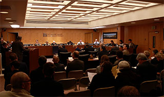
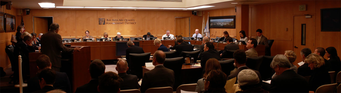
The Air District’s Board of Directors has adopted the Path to Clean Air Community Emissions Reduction Plan for Richmond-North Richmond-San Pablo.
The Air District is announcing the start of the Spare the Air summer smog season, Wednesday, May 1.
Due to heavy winter rainfall, the Air District has extended the permissive burn periods for Crop Replacement and Orchard Pruning & Attrition fires until June 30, 2024.