-
About the Air District
- Advisory Council
- Air District Leadership
- Air District Logos
- Bay Area Clean Air Foundation
- Board of Directors
- Community Advisory Council
- Contracting Opportunities
- Departments
- Diversity Equity and Inclusion
- Enterprise Systems Catalog
- Hearing Board
- History of Air District
- In Your Community
- Job Opportunities
- Mission Statement
- Office of Civil Rights
- Speakers and Tours
- News & Events
- Online Services
- Publications
- Forms
- Public Records
- Contact Us
- Login
- About Air Quality
- Rules & Compliance
-
Permits
- Permit Types and Process
- Permit Applications, Renewals and Forms
- Registrations and Notifications
- Public Notices and Engagement
- Major Facility Review (Title V)
- Permitting Manuals
- Special Programs
- Emissions Banking
- Asbestos Notification / Job #
- Open Burn Notification and Status
- Permit Regulation Changes
- Community Health
- Plans & Climate
- Funding
Contra Costa County
Learn about Contra Costa County - its climate, potential air pollution concerns, and current air quality. You can also view upcoming Air District events in Contra Costa County and read about local efforts to improve air quality.
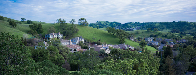
Contra Costa County lies east of the San Pablo Bay, bounded by Alameda County to the south, San Joaquin County to the east, and Solano and Sacramento counties to the north. Four representatives sit on the Air District’s Board of Directors.
Climate
Temperatures in and around the San Ramon and Diablo Valleys are warm in the summer and cool in the winter, largely because of their distance from the moderating effect of water bodies and because the California Coast Range blocks marine air flow into the valleys. The Carquinez Strait region remains temperate due to its proximity to water and oceanic air flows. In winter, average daily temperatures are mild, with tule fog common at night. Average summer temperatures are typically mild overnight and warm during the day, with cooler temperatures and stronger winds more common along the western coast. Wind speeds are generally low throughout the region and winds typically blow from northwest to southwest. However, strong afternoon gusts are common in the northern portion of the county around the Carquinez Strait. Annual rainfall averages between 18 and 23 inches across the county.
Interactive Air Monitoring Stations Map
Air Quality in Contra Costa County
Ozone and fine particle pollution, or PM2.5, are the major regional air pollutants of concern in the San Francisco Bay Area. Ozone is primarily a problem in the summer, and fine particle pollution in the winter.
Ozone and PM2.5 infrequently exceed health standards in the portion of Contra Costa County west of the East Bay hills. The San Francisco Bay keeps air temperatures above freezing in winter and well below 100 degrees on even the warmest summer days.
In eastern Contra Costa County, summer afternoon temperatures frequently approach triple digits, spurring ozone levels to exceed health standards. In winter, PM2.5 can be transported westward through the Carquinez Strait from the Central Valley where it adds to wood smoke, causing health standards to be exceeded.
Last Updated: 4/21/2017