-
About the Air District
- Advisory Council
- Air District Leadership
- Air District Logos
- Bay Area Clean Air Foundation
- Board of Directors
- Community Advisory Council
- Contracting Opportunities
- Departments
- Diversity Equity and Inclusion
- Enterprise Systems Catalog
- Hearing Board
- History of Air District
- In Your Community
- Job Opportunities
- Mission Statement
- Office of Civil Rights
- Speakers and Tours
- News & Events
- Online Services
- Publications
- Forms
- Public Records
- Contact Us
- Login
- About Air Quality
- Rules & Compliance
-
Permits
- Permit Types and Process
- Permit Applications, Renewals and Forms
- Registrations and Notifications
- Public Notices and Engagement
- Major Facility Review (Title V)
- Permitting Manuals
- Special Programs
- Emissions Banking
- Asbestos Notification / Job #
- Open Burn Notification and Status
- Permit Regulation Changes
- Community Health
- Plans & Climate
- Funding
Marin County
Learn about Marin County - its climate, potential air pollution concerns, and current air quality. You can also view upcoming Air District events in Marin County and read about local efforts to improve air quality.
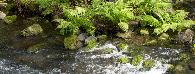
Marin County lies south of Sonoma County, bounded by the Pacific Ocean to the west, San Pablo Bay to the east, and the Golden Gate to the south. One Marin County representative sits on the Air District’s Board of Directors.
Climate
The west coast and southern portions of Marin County are often subject to cool marine air and substantial fog. Temperatures in these areas remain steady through the year because of the nearby ocean. The eastern side of Marin County is warmer and has less fog, due in large part to its distance from the ocean. The extra distance from the ocean allows the marine air to be heated before arriving at eastern Marin cities. Prevailing winds throughout the county are generally from the northwest, with wind speeds highest along the west coast. Annual rainfall in the mountains is generally higher than in most parts of the Bay Area, averaging 37 to 49 inches. The majority of rainfall across the county occurs November through March.
Interactive Air Monitoring Stations Map
Air Quality in Marin County
Ozone and fine particle pollution, or PM2.5, are the major regional air pollutants of concern in the San Francisco Bay Area. Ozone is primarily a problem in the summer, and fine particle pollution in the winter.
Along the Marin County coast and in southern Marin County, clean air from the Pacific Ocean helps to keep air pollution at a minimum. Elsewhere in Marin, ozone only rarely becomes a concern, but the hilly terrain and colder winter temperatures can trap PM2.5 near the surface, resulting in air quality that exceeds health standards.
Last Updated: 4/21/2017